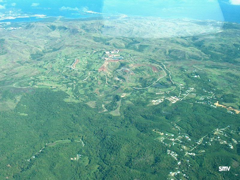
Thanks to my buddy (and fellow MSF Instructor) Rudy, I now know what this is... It it called "Leo Palace Resort" It is in the Manenggon Hills. |

The large chunk of land in the center of the picture is the Navy base known as "Big Navy" locally and COMNAVMAR officially. The bit of water to the right of it is Apra Harbor. |
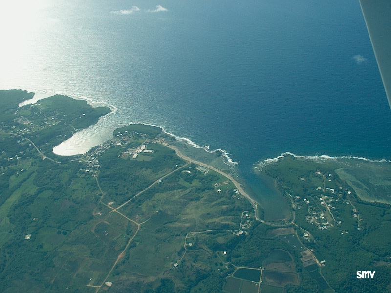
Talafofo Bay with its black sand beach and the village of Talafofo. |

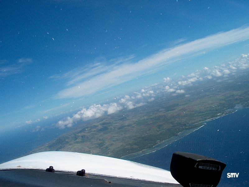
Clouds, Water, and Dirt?? |

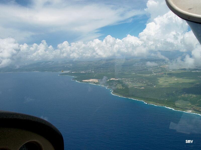
Another view of Talafofo Bay. |

Cocos (Resort) Island through the clouds and over the hills. |

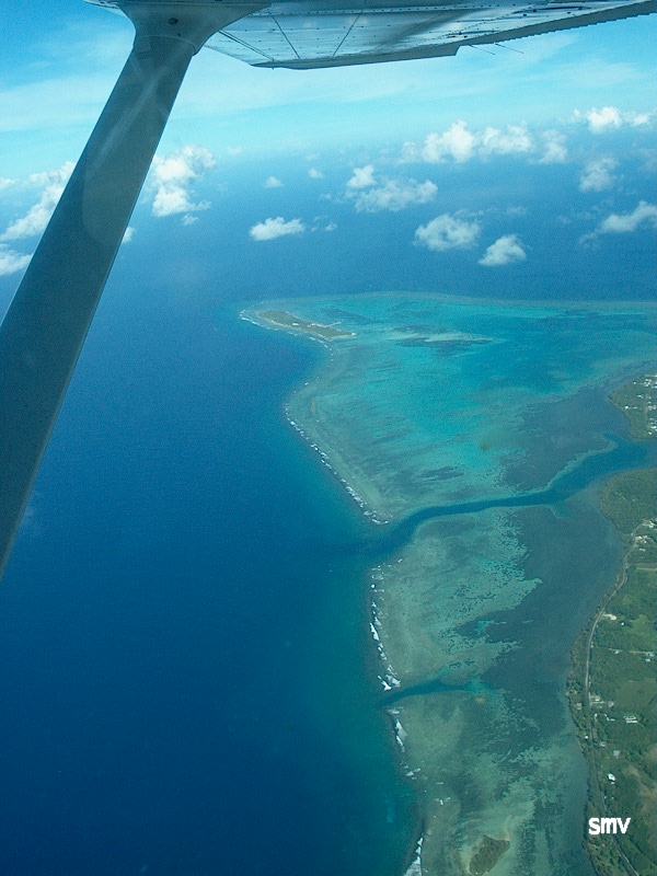
Another view of Cocos Island. |
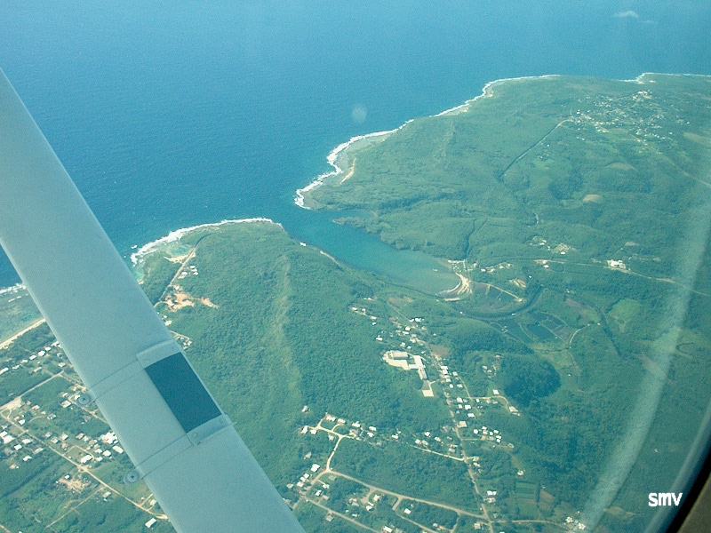
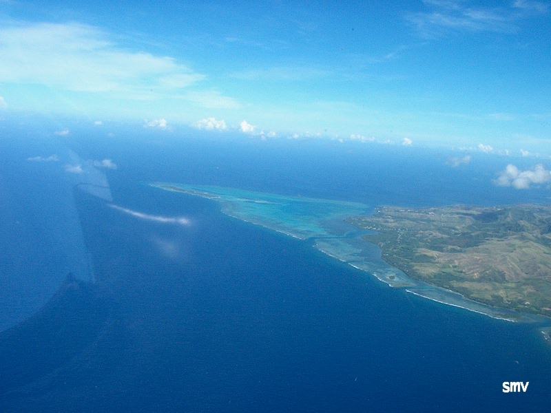
Inarajan Bay (left) and Agfayan Bay (right) |
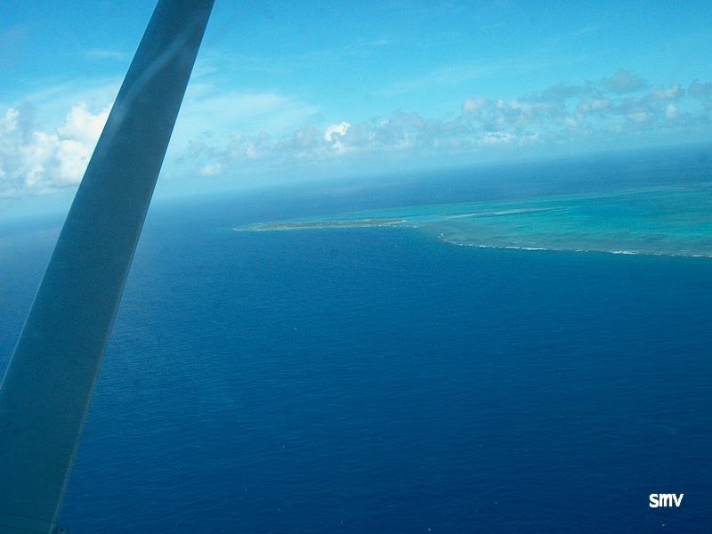
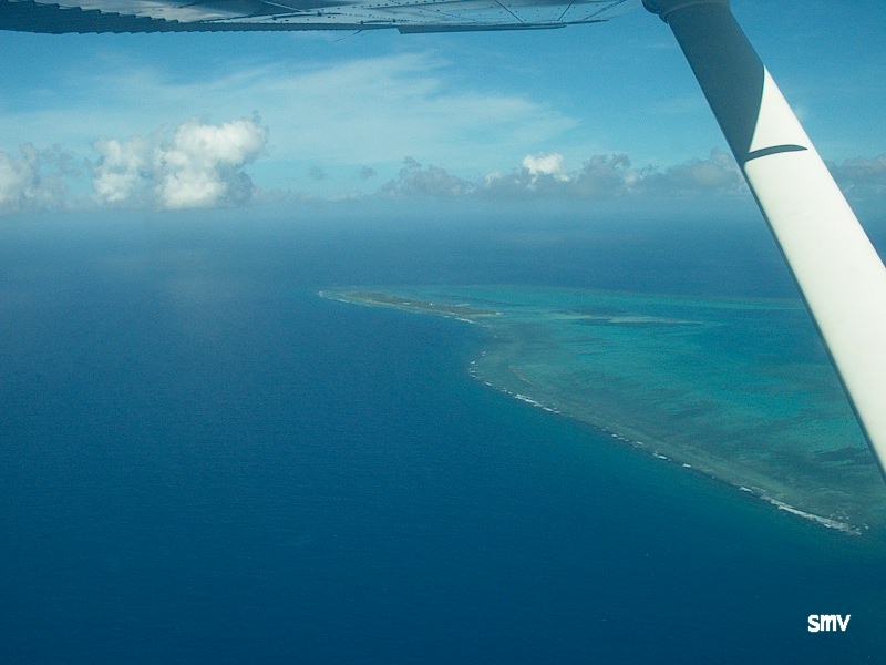
Cocos Island and reef flats around it. |
I sure took a lot of picture of Cocos Island. |
If I see one more picture of Cocos Island!!! Sheesh! ;) |
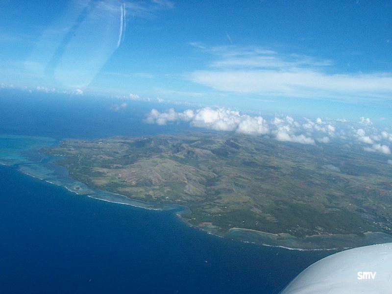
The "mountains" on Guam's south end. The tallest peak to the far left is Mt. Lam Lam. Guam highest point at 1332' MSL. |
South East corner of Guam. Inarajan Bay (right) and Agfayan Bay (left) right off the nose. |
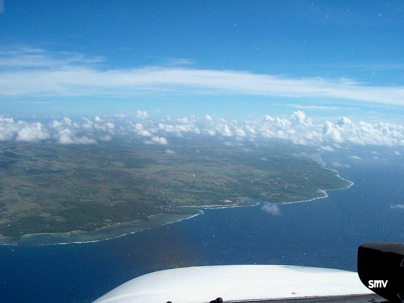
Another view of Guam's "mountains". |
There's that damn island again! |
North East shore of Guam. The bright spot in the middle is the rock Quarry. A VFR checkpoint. |
A view across the narrowest point of Guam. It's about four miles across at this point. |

The newly dugout part in this picture is Guam's brand new "Raceway Park". Off Road racing, Motocross, and dirt track. Ivan "Ironman" Stewart is supposed to be here for the opening. Is he still alive?;) |

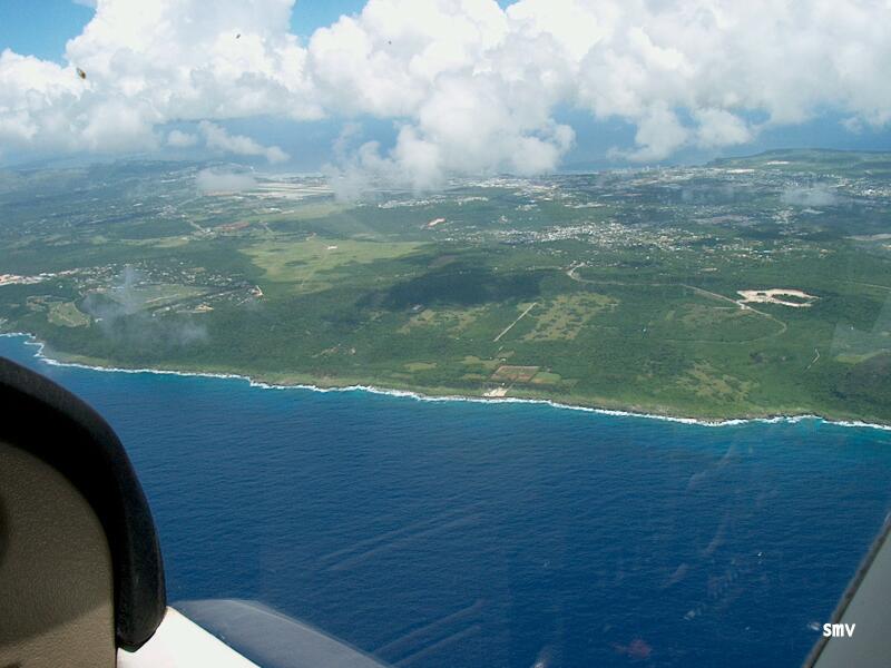
The village of Mangilao in the forground and the airport in the background. |
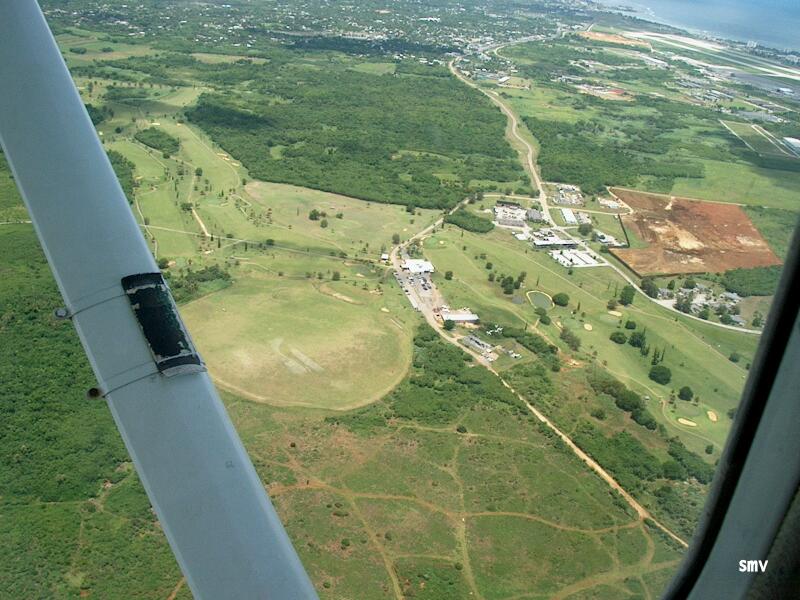
Radio Barrigada with the Adm Nimitz Golf Course. |
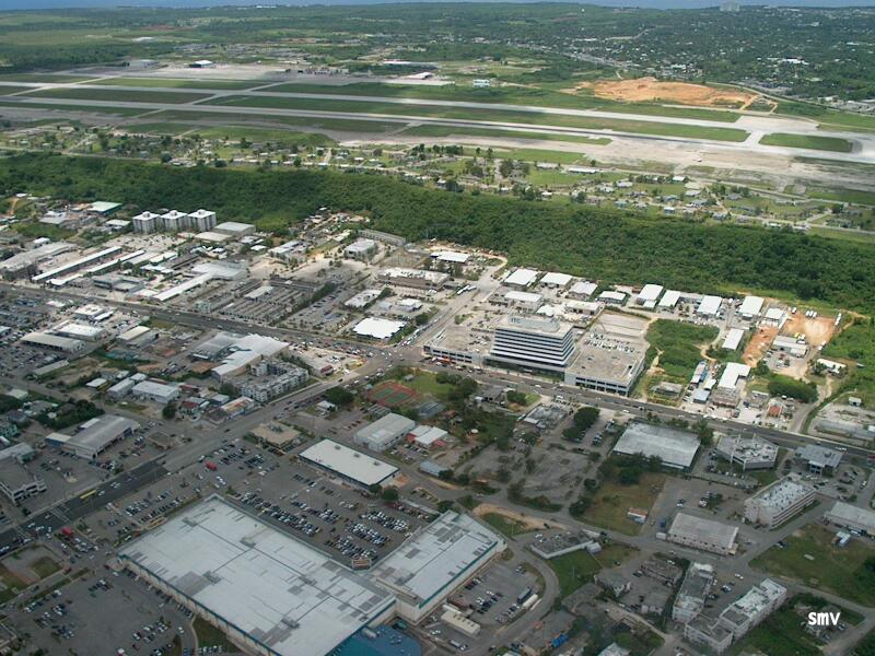
Downtown Agana with the Guam Premium Outlet Mall (formerly Gibson's Shopping Center) at the bottom and the ITC building in the center. |
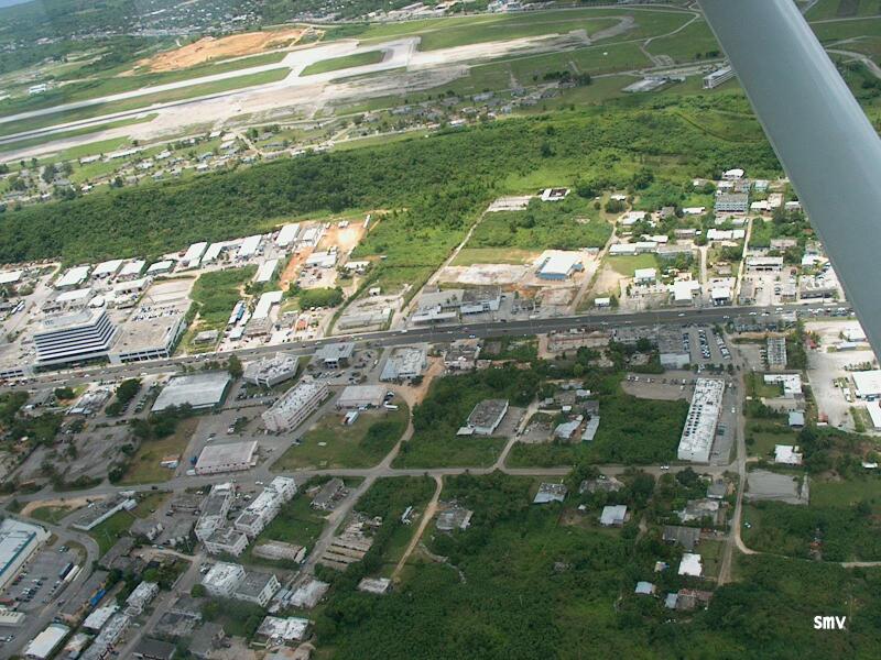
More Agana. Route 1 Marine Drive. |
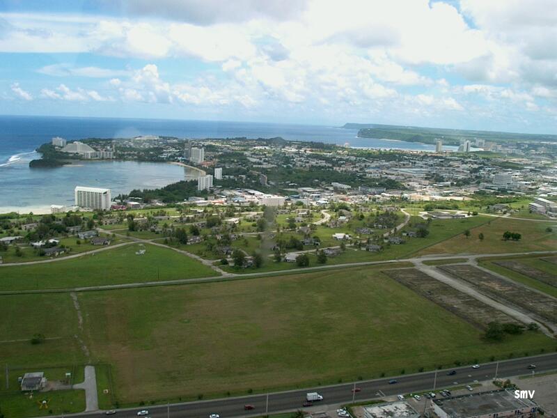
Agana Bay (left) Tumon Bay and Two Lover's Point (center) and Ritidian Point (far distance). Route 8 is at the bottom of this picture. |